Plant Monitoring
Rare Plant Monitoring
Metroparks is a steward of much ecosystem diversity ranging from the Lake Erie marshes and coastal plains; the historic Great Black Swamp forest; riparian and island forest along the Maumee, Swan Creek, and Ottawa Rivers; forested wetlands including the Middlegrounds in downtown Toledo west to the Oak Openings; wet and dry prairies; oak savanna and woodland; and mature oak and mixed species forests. Several of these habitats have been successfully restored or are in the process of restoration through Metroparks management efforts.
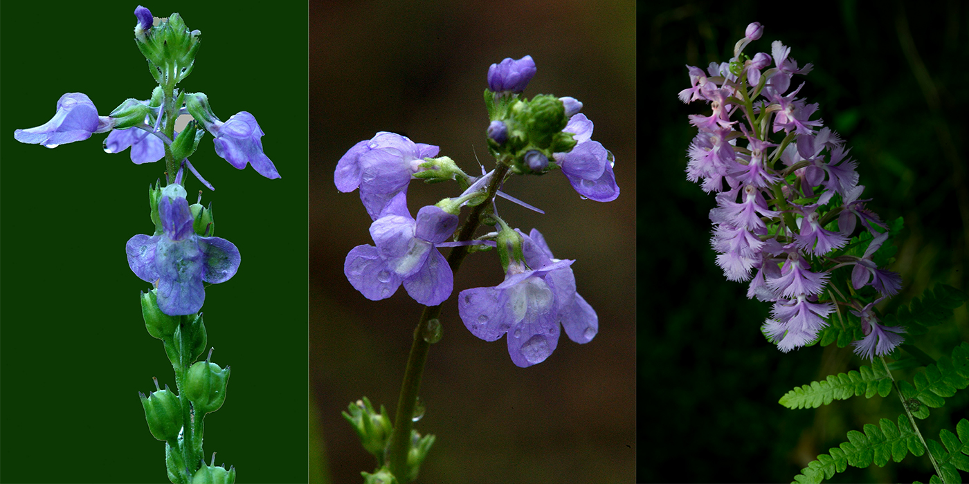
Much of this habitat diversity encompasses populations of state-listed rare plant species. These species are monitored annually by volunteers and staff in order to document any additional populations found; increases and decreases in populations; to assist the Ohio natural heritage database in keeping accurate records; to document deer impact and other threats; as well as find and add new species/populations on newly acquired properties.
Plant monitoring at Metroparks Toledo sites began in 1988 with a focus on occurrence inventories, as well as the documentation of new populations according to current State of Ohio rare species heritage lists. There are a total of 93 Ohio listed species monitored on Metroparks Toledo land currently (33 Endangered; 32 Threatened; and 28 Potentially Threatened) with over 900 total populations. According to Ohio Division of Natural Areas and Preserves (DNAP), there are 161 state-listed species in Lucas County (see map).
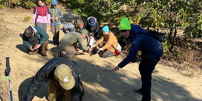
Annual monitoring occurs from April through October, and Ohio Endangered, Threatened, Potentially Threatened and/or added species are identified and field data is recorded using a Metroparks form in Survey123 software. This information is synced into a GIS database in order to produce maps for planning purposes, coordinate park activities, track population changes, and assist Natural Resources staff in making informed decisions regarding natural resource management. Field work includes: identification of correct counting protocol; species phenology; documentation of any environmental threats to site; documentation of any “sub-populations;” timing of visit; voucher information; and the population count within the following increments: 1-5; 6-10; 11-50; 51-100; 101-500; 501-1000; over 1000. Priority species (mostly Threatened and Endangered plants) are selected each season on a rotational basis and distributed to volunteers via a park “scope of work” plan. At year end, this information is shared with DNAP, which then adds to a larger informational base for Ohio.
For a list of Ohio, state-listed plant species [Details].
Ohio Rare Plant Species by County [Map]
District-Wide Vegetation Monitoring Program
To allow Metroparks to make informed decisions for the long-term stewardship of Northwest Ohio’s natural features, a district-wide vegetation monitoring program was developed in 2017 with assistance from Dr. Scott Abella and fully implemented in 2018. This district-wide monitoring system is designed to track long-term changes in ecological conditions, plant communities, and species diversity patterns within and among various habitats across all of the Metroparks, as well as provide insight into many key management questions. For example, some questions that are being answered or explored through this program are:
- What is the current age distribution and canopy structure of oak trees within park woodlands and savannas?
- What is the status of ash tree regeneration and understory development following the introduction of the Emerald Ash Borer?
- How are herbaceous plant communities responding to fluctuating populations of white-tailed deer?
- In pine removal areas, what does the botanical diversity consist of?
- Do diverse plant communities contain the most diverse wildlife communities?
- Do hotspots of native species richness and abundance also support high numbers of non-native species?
- Does community diversity promote stability?
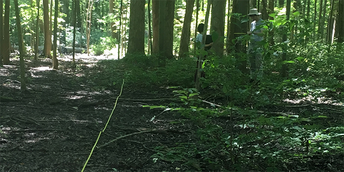
This long-term monitoring program is based on a network of 20 meter x 25 meter vegetation research plots distributed across all known plant community types occurring throughout the park district. In total, 160 research plots have been established to date. Information collected on all research plots including abundance of all documented plant species, measurements of tree basal area, and photographs taken from specific reference locations are all housed within a Geographic Information Systems (GIS) database. In addition to establishing new plots, the district-wide program also built upon previous monitoring efforts dating back to 1988 in Oak Openings Preserve and 2005 in Pearson Metropark. Additionally, 22 plots were established in the pine removal areas of Oak Openings Preserve Metropark.
Restoring and conserving rare native ecosystems: A 14-year plantation removal experiment [Read]
Changes in Groundlayer Communities with Variation in Trees, Sapling Layers, and Fires during 34 Years of Oak Savanna Restoration [Read]
Rapid increase in sensitive indicator plants concurrent with deer management in an oak forest landscape [Read]
Delayed Tree Mortality After Prescribed Fires in Mixed Oak Forests in Northwestern Ohio [Read]
